 Product Manuals
  Tech support notes
  Software
  Utilities and Tools
  USB drivers
  About us
  Our Foundation
  Events
  Press area
  Contact us
  General News & Events
  Product Information
  Applications
  Technical
  Product Pictures
  Latest videos
  Product Guide
 What is portable navigation?
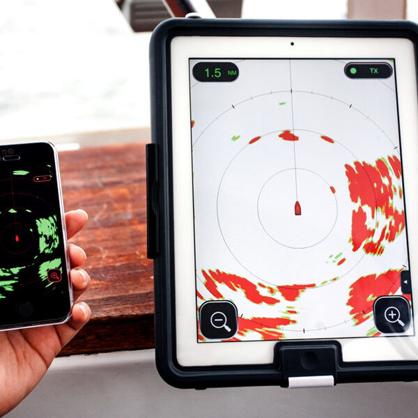
Digital Yacht has also developed innovative, easy to use and powerful apps and navigation software for smartphones, tablets and PCs. However, our NMEA to WiFi adaptors and NMEA to USB connectors are fully compatible with all the popular navigation software and apps

Benefits of iPad & Tablet navigation
There are numerous benefits of using an iPad or tablet for navigation. Obviously, the financial aspect is the most important for portable navigation, where a simple system allows you to get all navigation data on your mobile devices. With most people already owning a tablet or smartphone, the user only needs to purchase the product needed to transmit the data to these devices.
Tablet navigation also gives the user the ability to greatly improve their electronic system and utilise a navigation system with unlimited functions. If a chart plotter is already owned, customers can connect their existing plotter system to a product that will broadcast NMEA data wirelessly. This works with all major brands including Raymarine, Navico, Furuno, Garmin, etc.
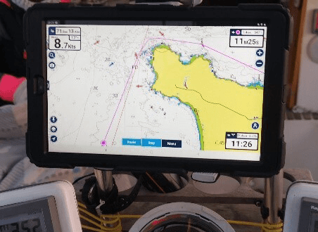
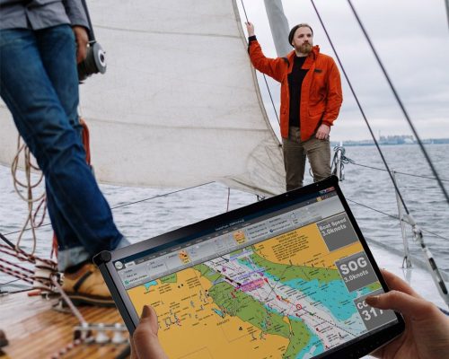
This means that if the customer already has a tablet or smartphone they will receive the data and be able to use comprehensive and powerful applications or navigation software. For example, the customer will be able to broadcast AIS data on a tablet that they can use cooperatively with their plotter and therefore he will be able to navigate and track a route on the existing plotter and at the same time look at the surrounding AIS targets on the tablet.
In addition to navigation and cartography, having an iPad, Tablet or Smartphone on board allows you to connect to the internet (if you have access) and therefore check your emails, surf the internet, Youtube, Facebook, etc.
Moreover, the portable navigation is a backup solution in case of problems with your main chart plotter. Also if your chart plotter has a small display, portable navigation can be a perfect solution for you. For a minimal cost, you will get all your data on a much larger screen. Chart plotters are limited to navigation, whilst tablets can also display weather data and receive navigation data from the internet too.
Wireless AIS on my tablet?
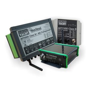
You can also easily stay aware of the boats around you with live AIS data delivered straight to your tablet, smartphone or laptop. Our AIS transponders with Wi-Fi make it easy to view surrounding vessels in real time on your favourite navigation apps and software.
If you AIS has no built-in Wi-Fi, AIS targets can be shared wirelessly across multiple devices by connecting your AIS receiver or transponder to a wireless NMEA server. Both methods give you the freedom to monitor traffic wherever you are on board.
The Nomad 2 portable AIS transponder brings this flexibility to a new level. Designed for boaters who need a easy-to-install, portable AIS solution, it allows you to transmit your vessel’s position and receive AIS targets without the need for a permanent installation.
Whether you are sailing your own boat, chartering or upgrading your navigation setup, our wireless AIS solutions provide an easy way to connect your boat with today’s mobile devices.


Getting instruments, autopilot and more on a tablet
Modern navigation apps can do more than display charts. By adding a NMEA interface, your tablet, smartphone or PC can receive live navigation data from your boat’s electronics, including GPS position, depth, speed, wind, heading, AIS and autopilot information.
Real-time instrument data can be overlaid on electronic charts apps, displayed on a instrument dashboards or even used for advanced navigation and route planning.
Our USB and wireless NMEA gateways are bidirectional, allowing data to be sent from your tablet back to your onboard network. Navigation apps and software that support autopilot output, including TimeZero, TZ iBoat, Navimetrix and SailGrib, can transfer routes and waypoints directly to your autopilot for simple route management.
Perfect as a secondary display, cockpit repeater or as a stand-alone portable navigation solution, a tablet provides a intuitive touchscreen interface without the cost of adding another dedicated MFD. Multiple devices can connect simultaneously, allowing crew members to view the same live navigation and instrument data anywhere on board.
Discover our products
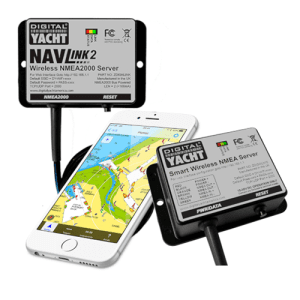
NMEA to WiFi
Our NMEA to WiFi servers to connect your tablet/iPad to your navigation system.